
 Plans that would guide the growth and development of Madison’s southwest and southeast areas are headed toward potential approval next month.
Following rounds of public input, both plans call for more housing options, mixed-use development along major streets, and increased transportation and transit connectivity with major streets that play a role in decisions about land use.
Here’s a closer look at each proposed plan:
Southwest area
City planners see the pattern of development changing in Madison’s southwestern neighborhoods, which is bounded by the Beltline to the north and Verona Road to the east. Since the 1950s, much of the area has been built from the ground up as the city expanded outward, but with less land available for expansion, growth is now more likely to come from within....
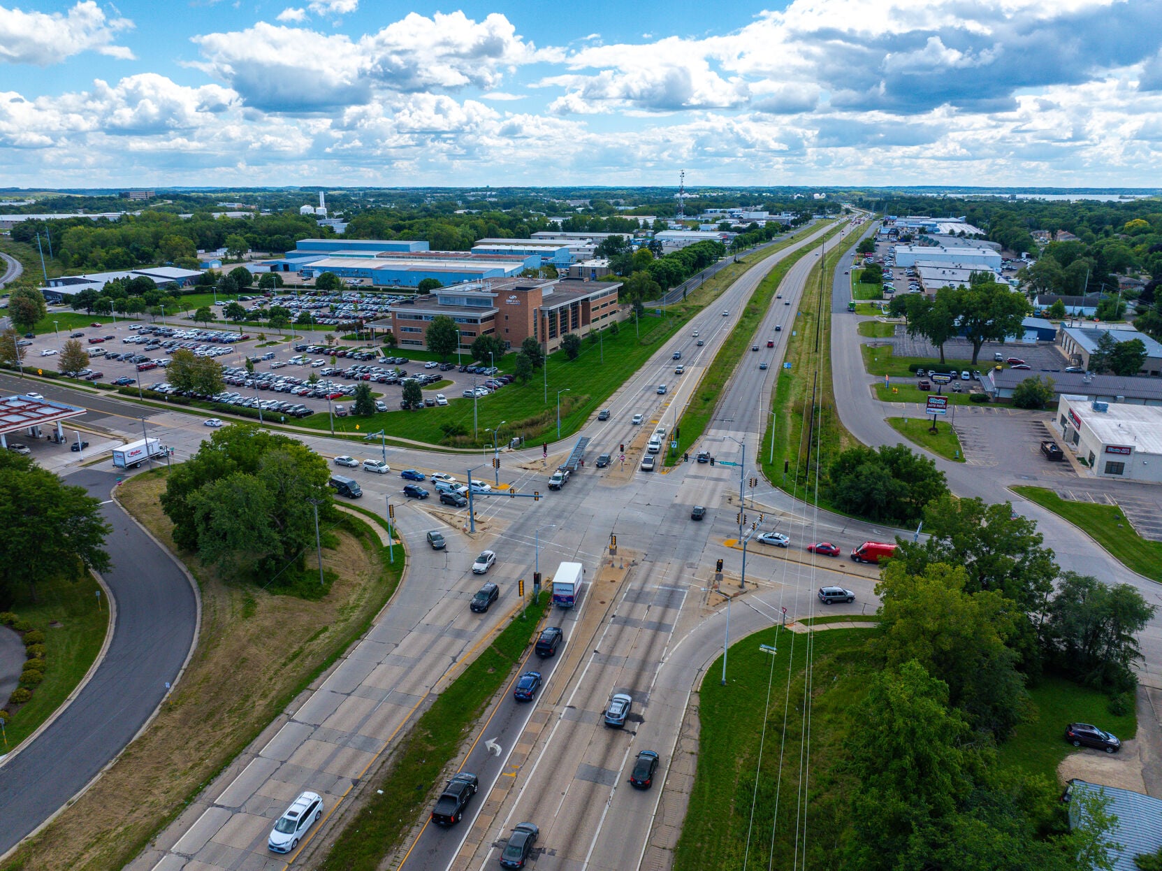
...Southeast area
Planners see opportunities for redevelopment and improved transportation systems in southeast Madison, an area bounded by Highway 30 to the north, Lake Monona and Monona to the west, McFarland to the south, and Interstate 39/90 to the east....
...moreRSK: Update on City of Madison's plans for the SW & SE corridors.
Share this article on your social outlets
Our Sponsors
- - Volume: 26 - WEEK: 21 Date: 5/19/2026 7:26:57 PM -